Hydrographic survey/Bathymetric survey
Hydrographic Survey
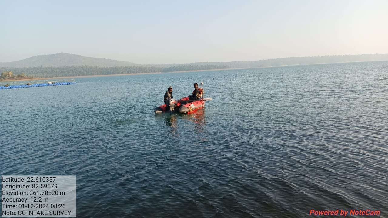
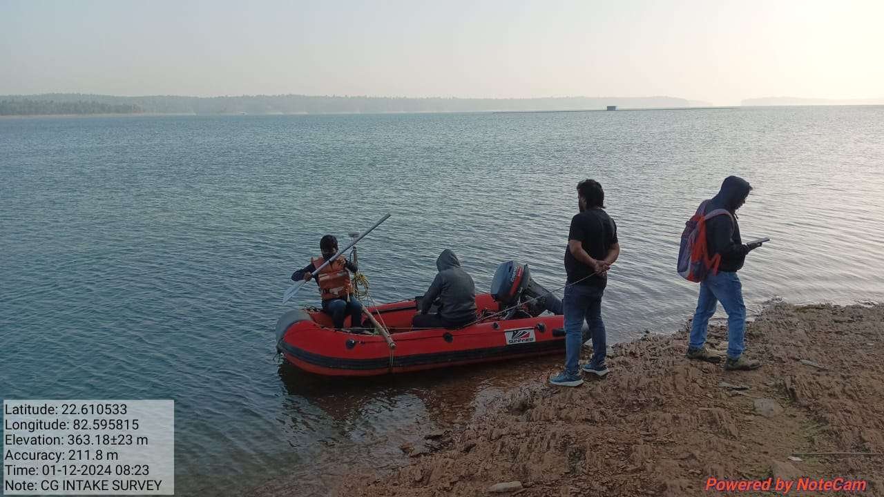
Utkal Geo Tech Consultants providing services in Hydrographic survey or bathymetric survey in Bhubaneswar Odisha. Single beam echo sounder system with DGPS machine using for hydrographic survey or bathymetric survey. Hydrographic surveying is an important civil engineering service that determines the physical features of an underwater.
River, Canal & Lake/Reservoirs

Hydrographic survey/Bathymetric survey
Hydrographic surveying is an important civil engineering service that determines the physical features of an underwater area. Two of the most commonly used two types of sonar in surveying are: single-beam & multi beam eco sounding system.
FAQ
Part of the maritime science study is the analysis, measurements, description, and mapping of features found underwater called hydrographic survey. Hydrographic survey encompasses bathymetry, the shape, and features of the shoreline; the characteristics of tides, currents, and waves; and the physical and chemical properties of the water itself. Hydrographic surveys are the science of measuring all factors beneath the water that affect all the marine activities like dredging, marine constructions, offshore drilling etc. There are several reasons why hydrographic surveys are important, with the main purpose being for navigation. Measuring of tides for coastal work like harbor construction and construction of sea infrastructure.
Bathymetric survey is the mapping of the submarine topography, known as bathymetry. Bathymetric Survey is the measurement of underwater Depth for lakes, Oceans and other major water bodies by using an echo-sounder to provide safety to surface and subsurface navigation. From this survey we can get seafloor beds as contour lines which are called depth contours or isobaths.
1.Multibeam sonar: This technique involves using multiple sonar beams to measure the depth of the water and create a detailed 3D map of the seafloor.
2.Single-beam echosounder: This technique involves using a single sonar beam to measure the depth of the water and create a two-dimensional map of the seafloor.